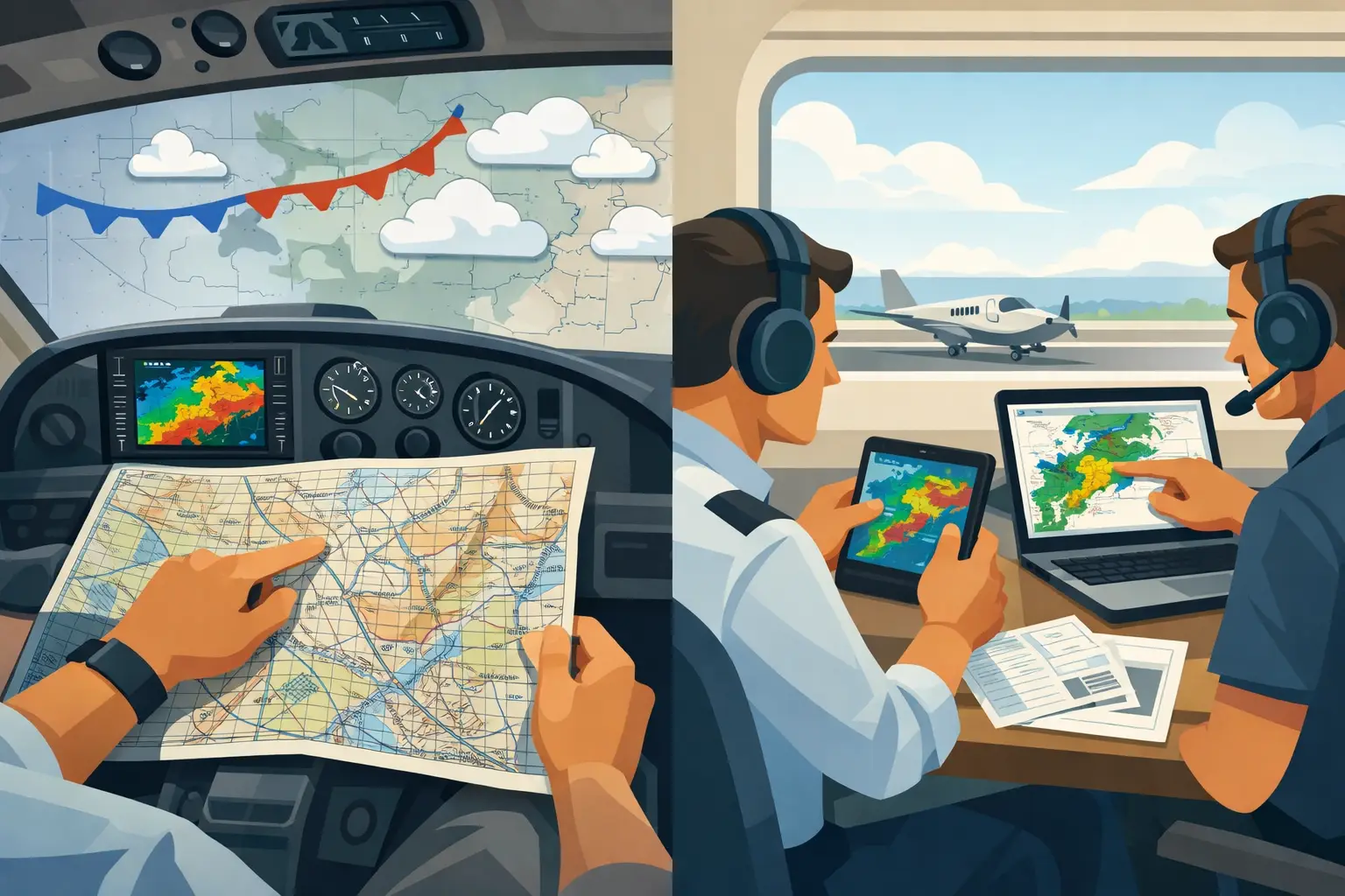
The useful question in area forecast discussion vs models is not which one is “right.” It is whether you understand what could change before Friday’s business trip, Sunday’s family flight, or the return leg when the hotel is already booked. A model can show a clean route four days out. An Area Forecast Discussion can tell you the clean route depends on a front arriving six hours later than expected. Those are very different planning signals.
For a pilot making a real commitment before TAFs exist, you need both. Models show possible outcomes at scale. The Area Forecast Discussion, or AFD, shows how the forecast office is thinking about those outcomes, where the weak points are, and what would make the forecast shift.
Models are guidance, not a decision narrative
Numerical weather models start with observations, estimate the current atmosphere, and calculate forward. They are indispensable. The NBM brings multiple model solutions together into calibrated probabilistic guidance. The HRRR can be especially useful as departure gets close, particularly for convection, ceilings, visibility, and wind changes on a shorter timeline. Global and regional models help reveal the larger pattern several days ahead.
But every model output is an interpretation of an atmosphere that has not happened yet. Small differences in the position of a shortwave, the timing of a cold front, available moisture, or overnight cloud cover can become major operational differences for a light airplane. One run may keep a warm front north of your destination. The next may pull low ceilings and rain directly across it.
That does not mean the models are failing. It means they are expressing a forecast problem with real uncertainty.
The trap is treating a single deterministic map as a promise. A green route line or a favorable cloud-base layer can feel reassuring when you are looking at it alone. Yet the question for a cross-country pilot is usually broader: Is the pattern stable enough that this trip is likely to remain viable for my aircraft, my ratings, my personal minimums, and my available outs?
Probabilistic NBM guidance improves that picture. Rather than asking only whether ceilings will be 3,000 feet, look at the chance they fall below your workable threshold. Rather than focusing on a single wind forecast, look for the spread and the likelihood of a crosswind that changes your destination or alternates plan. Probability does not eliminate judgment. It gives judgment something more honest to work with.
What the Area Forecast Discussion adds
An AFD is where a forecaster explains the reasoning behind the forecast. It is not written specifically for aviation, and it will not replace TAFs, METARs, PIREPs, SIGMETs, AIRMETs, radar, or the tools you use close to departure. Its value is different: it gives you the synoptic story that raw forecast layers often leave out.
Read an AFD and you may find the forecaster discussing whether a boundary will stall, whether an upper-level disturbance will arrive during peak heating, whether dry air may limit thunderstorm coverage, or whether low-level moisture could support overnight stratus and fog. You may also see the language that matters most to planning: “timing remains uncertain,” “models differ,” “confidence is lower,” or “will depend on frontal position.”
That language is not a reason to cancel a trip three days early. It is a reason to stop treating the favorable model run as settled fact.
The best AFDs make a pilot’s next question obvious. If convection is expected but timing is uncertain, your question becomes whether a morning departure creates a better window. If the office expects marginal ceilings behind a front, the question becomes whether your destination has a reliable alternate, whether the route has lower terrain and more options, and whether a delay is cheaper than pressing an arrival under pressure.
Why one office’s discussion is rarely enough
A 500-mile trip can cross several weather regimes and several Weather Forecast Office areas. The departure office may be focused on morning fog. Two states later, another office may be watching a dryline and late-day convection. At the destination, the operational issue may be gusty post-frontal winds and a low cloud deck that arrives after sunset.
This is why reading only the discussion nearest your departure airport can produce false comfort. The route is the mission, not the origin.
There is also a practical limitation: AFDs are written in local operational context. They do not automatically connect their concerns to the next office’s concerns. The pilot has to assemble the chain. For a short local flight, that may take a few minutes. For a multi-state trip three or five days away, it can become a lot of tabs, a lot of abbreviations, and still no clear answer to the question your spouse or customer is asking: Should we plan on this flight?
PlaneWX addresses that planning gap with Synoptic Intelligence™, bringing together AFDs from Weather Forecast Offices along a route and calibrating the picture against NOAA NBM probability data. The result is not a substitute for your close-in briefing tools. It is earlier decision support for the period when you are deciding whether to keep the trip on the calendar at all.
How to use AFDs and models together
Start with the models to understand the broad shape of the trip. Look for the major features: fronts, pressure gradients, precipitation areas, convective potential, freezing levels, and expected ceiling or visibility risks. Then resist the urge to declare victory based on the most favorable panel.
Next, read the AFDs for the route and destination. You are looking for agreement and disagreement. When the AFD supports the model signal, the pattern may be gaining definition. When the discussion calls out timing differences or low confidence, treat the model output as conditional.
A practical way to frame it is this: models answer, “What may happen?” The AFD answers, “Why the forecaster thinks it may happen, and what could change it?” Together, they help answer the only question that matters: “What should I do with this trip right now?”
If the pattern looks favorable and the forecaster reasoning is consistent, you may be comfortable keeping the plan intact while continuing to monitor it. If the route is marginal but the uncertainty is improving in your favor, you may keep the trip with a flexible departure time or backup airport. If the forecast depends on a poorly resolved frontal timing or widespread convection, make the hard logistics decision early. Move the meeting, reserve the rental car, or tell the family the airline is the better option this time.
That is not pessimism. It is good PIC judgment before external pressure narrows your choices.
Watch the trend, not just the latest run
Forecasts changing does not automatically mean conditions are getting worse. Often, the key signal is whether the uncertainty is narrowing. A storm system that shifts slightly from run to run but remains well north of your route may be less concerning than a system with wildly different timing solutions near your destination.
As departure approaches, the information hierarchy changes. Several days out, the synoptic pattern and forecast-office reasoning deserve more weight. Within roughly 24 hours, TAFs, updated NBM probabilities, radar trends, surface observations, PIREPs, and convective products take over. On the day of flight, your normal EFB workflow is where you verify the operational reality.
Use PAVE honestly during each update. A forecast that is manageable for a current instrument pilot in a well-equipped airplane with generous fuel and alternate options may be a poor fit for a tired solo pilot facing a night arrival, gusty crosswinds, and a hard appointment the next morning. The weather does not need to be “bad” for the mission to be wrong.
The disciplined move is to set your thresholds before you are emotionally committed. Decide what probability of low ceilings, convective disruption, icing exposure, or strong crosswinds changes your plan. Then let the evolving AFD and model picture test that plan instead of negotiating with yourself at the airport.
When the bags are packed and people are counting on you, earlier clarity is worth a great deal. Read the forecast story behind the model maps, watch whether uncertainty is resolving, and give yourself permission to make the sensible call while you still have options. That is how you earn the confidence to go, or the courage to stay™.