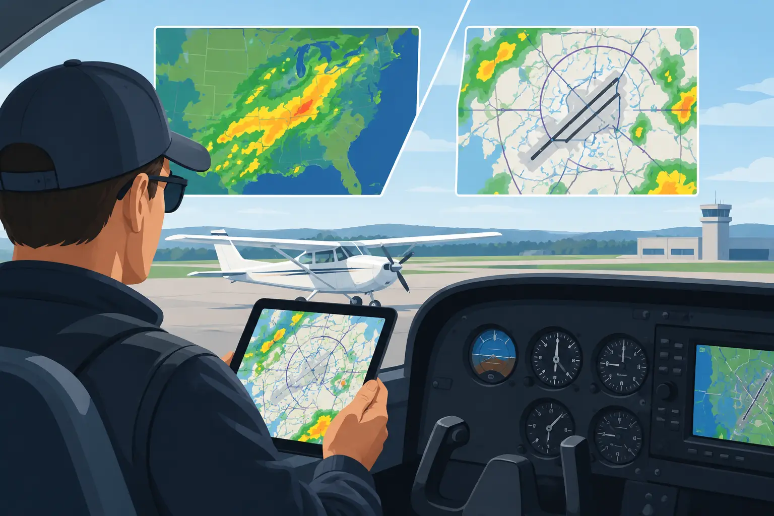
Your destination may look fine in the TAF while the route is quietly setting up for a long, uncomfortable day. Or the regional picture may look ugly, yet your departure and arrival windows remain workable. That is the practical tension in area forecasts vs terminal forecasts: one helps you understand the weather system, while the other helps you assess a specific airport and time.
For a real trip, you need both. The trouble starts when we ask either product to answer a question it was never designed to answer - especially three, four, or five days before departure, when the hotel is booked, the meeting is on the calendar, and someone is asking whether they should plan on you arriving Friday night.
Area Forecasts vs Terminal Forecasts: Different Jobs
A terminal forecast, or TAF, is an airport-specific forecast. It tells you what the forecaster expects within a defined area around a terminal, generally covering 24 or 30 hours. For departure and arrival planning close to the flight, it is one of the most useful products we have.
A TAF answers operational questions: Is the ceiling likely to support my approach? Is the wind expected to exceed my crosswind comfort level? Is there a TEMPO group that could close the margin at the time I expect to arrive? If I need an alternate, does the forecast meet the legal and practical requirements for my flight?
But the TAF is deliberately narrow. It does not tell you much about the 400 miles between your home field and destination. It may not explain why conditions are forecast to change. And it usually is not available early enough to help with the commitments that create most of the pressure.
Area forecasts serve a broader purpose. In the United States, pilots often use the phrase to mean the regional weather picture available through Graphical Forecasts for Aviation, rather than the legacy textual Area Forecasts that were replaced in the CONUS. The point remains the same: area-level products show the weather affecting a large region and the movement of the systems driving it.
That broader view can reveal a frontal boundary, a widespread low ceiling regime east of the Appalachians, a line of convection building ahead of a dryline, or strong winds aloft across the high terrain. It gives the mission context that a TAF cannot.
The trade-off is resolution. A regional forecast can tell you that marginal VFR is likely across much of Missouri. It cannot reliably tell you whether Runway 18 at your destination will be 1,500 overcast or 500 overcast at 1900Z. It is pattern intelligence, not a promise for one runway environment.
Why a Good TAF Can Still Produce a Bad Trip
A common trap is treating favorable departure and destination TAFs as proof that the trip is viable. That works on a short flight in stable weather. It becomes less dependable as route length, terrain, convective risk, and time pressure increase.
Picture a morning trip from Nashville to the Texas Hill Country. The departure TAF is VFR. The destination TAF is VFR with gusty afternoon winds. At first glance, it looks straightforward.
Now add the area picture: a strengthening low-level jet, a warm front lifting north, an extensive cloud shield, and a daytime convective signal along the route. The destination may remain VFR until the forecast period ends, but the route can still become a fuel, deviation, and alternate problem. A later TAF amendment may catch up to the developing situation. Your schedule may not.
The reverse can also happen. A destination TAF with a brief period of low ceilings may look discouraging, while the larger pattern shows an improving post-frontal airmass, northwest flow, and a well-established clearing trend. That does not make the low ceiling irrelevant. It tells you to focus on timing, runway options, approach capability, and a realistic wait-or-go-later plan instead of canceling from one forecast line.
This is why PIREPs, SIGMETs, AIRMETs, radar, satellite, and winds aloft belong in the final decision picture. They test whether the forecast is behaving as expected. Forecast products tell you what should happen. Current observations tell you whether the plan is still honest.
The Gap Before TAFs Exist
The hardest planning decisions often happen before a terminal forecast can help. You may be deciding whether to take the airplane to a client meeting next week, reserve a rental car, move a family event, or leave a day early to avoid weather. At that point, the question is not, “Will my destination be 2,000 broken at 2100Z?” No honest tool can answer that with precision several days out.
The better question is, “What kind of weather pattern is likely to control this trip, and is the probability of a workable mission improving or deteriorating?”
That requires more than a single model run. The HRRR is excellent for short-fuse, high-resolution guidance, but it does not solve a five-day planning problem. The National Blend of Models provides useful probabilistic guidance, but probability fields still need to be interpreted against the route, season, terrain, airport access, and the pilot’s actual minimums.
This is also where the Area Forecast Discussion earns its place. An AFD is not written as a pilot briefing, but it often explains the forecaster’s reasoning better than a row of icons ever can. It may identify uncertainty in frontal timing, concern about fog redevelopment, disagreement between model families, or the potential for a stronger convective response if cloud cover breaks earlier than expected.
Read several AFDs along a long route and a pattern begins to emerge. Are offices consistently describing a slow-moving boundary? Is the concern concentrated around early-morning stratus, afternoon storms, or post-frontal winds? Is confidence increasing as the event gets closer, or are forecasters still flagging timing uncertainty? Those are the details that help you decide whether to protect the schedule with an airline backup, shift departure, or hold the commitment loosely for another day.
Use the Forecasts in the Right Sequence
For a trip more than 24 hours away, begin with the area picture. Look for the dominant system and its trend. A broad trough, stalled front, tropical moisture feed, or widespread high pressure gives you a first sense of whether the trip is likely to be simple, constrained, or highly timing-dependent.
Then narrow the view. Compare the route with the destination and alternate areas. Think about where your mission is most exposed: mountain passes, lake-effect zones, frontal crossings, long legs with limited outs, or airports where a modest ceiling reduction changes the approach and fuel equation.
As departure gets closer, terminal forecasts take on more weight. Compare the TAF with METAR trends, nearby fields, and the forecast discussion. A TAF should never be read as a standalone green light. A PROB group, TEMPO condition, or rapidly changing wind forecast deserves a look at what is happening around the terminal, not just at the terminal.
Finally, on flight day, return to the full operational picture. Check METARs, TAFs, PIREPs, radar, satellite, SIGMETs, AIRMETs, NOTAMs, and the route itself. This is where your normal EFB workflow is indispensable. The earlier area-level work should have already helped you avoid being surprised by the day’s weather story.
Make the Forecast Personal
The same forecast can be acceptable for one pilot and a no-go for another. A 1,000-foot ceiling with a 12-knot crosswind may be routine for an instrument-current pilot in a well-equipped airplane with good alternates. For a pilot returning to IFR after a long break, flying solo at night into unfamiliar terrain, it may be a poor fit.
That is not weakness. It is good PAVE discipline. Pilot, Aircraft, enVironment, and External pressures are not boxes to check after the decision is made. They are the framework for deciding what the forecast means for this particular flight.
PlaneWX is built around that earlier decision window. It synthesizes AFDs from Weather Forecast Offices along a route, calibrates the pattern against NBM probabilities, and applies your ratings, experience, personal minimums, and aircraft capabilities to a WX Score. The purpose is not to replace the tools you use on flight day. It is to give you earlier visibility into whether a coming trip deserves confidence, contingency planning, or a change of plans.
Before you make the next nonrefundable commitment, look beyond the destination TAF. Read the weather pattern, watch its trend, and decide while you still have room to choose. That is the confidence to go, or the courage to stay™.