The hard part of cross-country flying usually starts before the engine does. It starts when the hotel is booked, the meeting is on the calendar, your spouse has packed a bag, and the weather picture is still far enough out that the TAFs are either missing or not telling the full story. That is exactly where a guide to route based weather decisions matters most - when you need to make a call before the usual tools get sharp.
Most pilots don’t struggle with reading a METAR or spotting an ugly TAF. The real problem is deciding what to do when the route is four states long, departure is three days away, and every forecast product seems to speak a different language. One model shows a frontal passage speeding up. Another slows it down. Convective chances creep north. Ceilings look manageable at both ends, but the middle of the route starts to smell like trouble. That’s where judgment gets tested.
What a guide to route based weather decisions should actually do
A useful route-based decision process does not begin with the departure airport and destination airport alone. That is where a lot of otherwise careful pilots get trapped. They see good conditions at both ends and assume the route will sort itself out.
Sometimes it does. Sometimes the route contains the whole story.
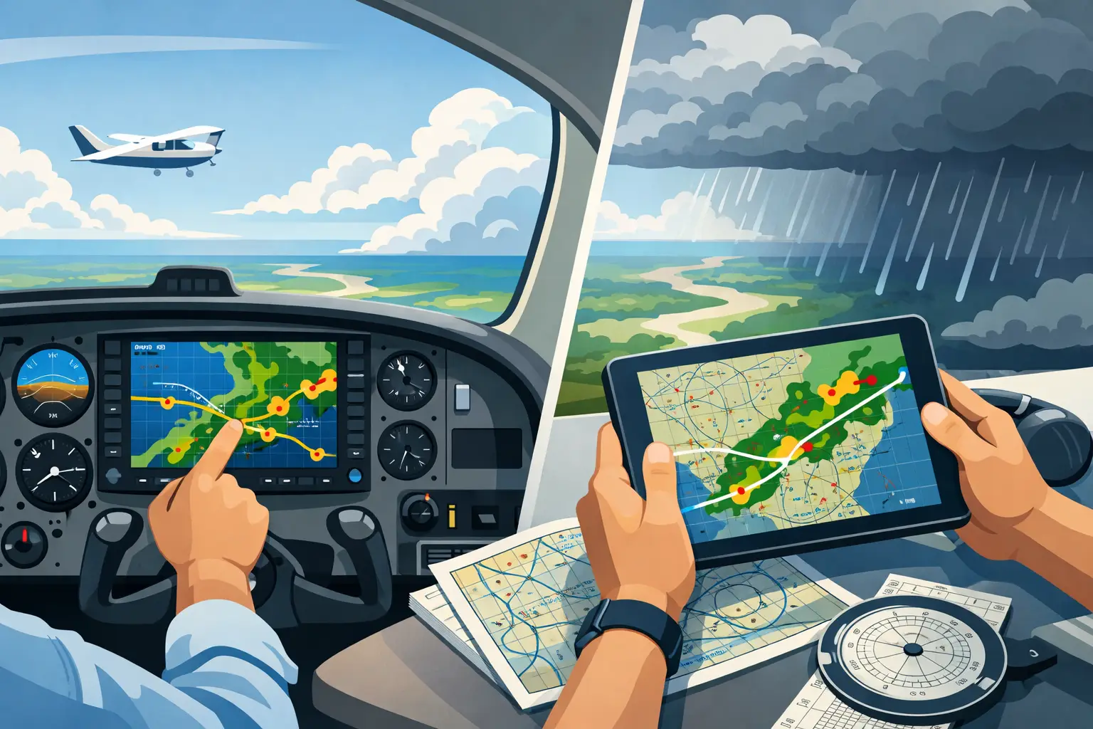
If you are flying from Dallas to Nashville, the weather over Little Rock may matter more than what is happening where you start. If you are crossing the Appalachians, a modest wind shift and lowering freezing levels can change the trip from routine IFR to a bad idea in a hurry. If your alternate options are sparse, your weather margin needs to be wider than the raw forecast might suggest.
That is why route based weather decisions have to answer a different question than ordinary preflight weather review. The question is not, "What is the weather at airport A and airport B?" The question is, "What is the probability that this whole trip stays within my airplane’s and my own real-world limits?"
That sounds simple, but it forces better thinking. It moves you away from cherry-picking a few favorable data points and toward evaluating the actual mission.
Start with the mission, not the map
Before you read a single AFD or model panel, define the mission honestly. Not the optimistic version. The real one.
How flexible is the departure time? Can you leave six hours early or one day late? Is this a family trip where turning around after launch creates its own pressure? Are you flying a known-ice-equipped turboprop, or a piston single that needs wide ice margins and a clean out? Is this a solo IFR trip after a long week at work, or are you current, rested, and flying a route you know well?
This is basic PAVE thinking, but applied where it counts. Weather is never judged in isolation. A line of embedded convection means one thing in a pressurized twin with lots of outs and another in a normally aspirated single with limited climb and a narrow fuel picture. A 2,000-foot ceiling at the destination may be fine if the route is stable and alternates are plentiful. The same ceiling at the end of a long winter route with widespread IFR and icing reports is a very different call.
If you skip this step, every forecast becomes misleading because you are measuring weather against generic standards instead of your standards.
Read the route as a system
The best weather calls usually come from understanding the pattern, not memorizing products. That means stepping back and asking what is driving the weather along your route.
Is there a front moving through, and if so, is the timing getting faster or slower? Is moisture increasing ahead of it? Are the AFDs from multiple forecast offices telling a consistent story, or are they revealing uncertainty about instability, ceilings, or timing? Is the route dealing with stratiform rain and lowering ceilings, or pop-up convection with localized escape options? Those are very different operational problems.
This is where AFDs are worth their weight in avgas. They tell you what the forecasters are wrestling with, not just the polished output. If several offices along the route mention uncertainty in frontal timing, confidence issues in thunderstorm coverage, or disagreement among models on low cloud development, that matters. It tells you the forecast may keep moving, and not because anyone is sloppy. The atmosphere is simply not settled yet.
A route is a weather system in motion, not a stack of airport snapshots.
Watch trends before you trust details
Three to five days out, the details will lie to you. The trend usually won’t.
That does not mean the details are useless. It means they deserve the right weight. If the NBM probabilities are steadily increasing for sub-VFR ceilings along the route, pay attention. If repeated HRRR runs later tighten the timing once you get closer, that helps refine the decision. If PIREPs start matching the concern that showed up in the AFDs a day earlier, the picture is gaining credibility.
What you are looking for is alignment. When model guidance, forecast discussion language, and observed weather begin to point the same direction, your planning confidence should improve. When those pieces fight each other, your margin should widen.
A lot of bad weather decisions begin with one true statement taken too far. "The destination TAF still looks okay." Fine. But if widespread MVFR is filling in west of the route, AIRMET Sierra is expanding, and the discussion mentions stronger moisture advection than expected, that TAF may simply be late to the party.
The practical decision flow
For real-world trip planning, I think the cleanest approach is to make weather decisions in three passes.
The first pass happens several days out. Here, you are not trying to decide launch details. You are deciding whether to commit to the mission, build a backup plan, or start warning passengers that this trip may move to airline, car, or cancel. At this stage, the key question is whether the large-scale pattern supports your flight profile.
The second pass happens inside roughly 48 hours. Now the route structure starts to matter more. You compare departure, enroute, destination, and alternate conditions as one chain. You want to know where the weakest link is. Maybe the departure is easy and the destination is easy, but the route crosses a corridor of low ceilings with poor alternates. That should drive the decision, not the endpoints.
The third pass happens on the final day, when TAFs, METARs, PIREPs, SIGMETs, and radar trends carry much more weight. This is where execution decisions happen. But by this point, the hard emotional work should already be done. You should not be discovering major weather risk at the last minute if you have been reading the route correctly all along.
That is one reason I built PlaneWX in the first place. I wanted a better way to see route-level weather viability before the short-range picture hardened, using Synoptic Intelligence™ across the whole route and a WX Score tied to the pilot, the airplane, and the mission. Not because pilots need more raw data, but because they need earlier clarity on whether the trip is likely to work.
Where pilots usually get fooled
The most common trap is endpoint bias. Good departure and destination weather create false comfort. The second trap is timing optimism. Pilots often assume the adverse weather will arrive later, clear earlier, or stay just far enough away to preserve the trip. Sometimes that works. Too often it is just wish-casting with charts.
Another trap is treating all uncertainty as equal. There is a big difference between uncertainty in thunderstorm coverage over flat terrain with easy reroutes and uncertainty in freezing precipitation near your only practical path through the weather. Both are uncertain. Only one may be acceptable.
It also matters whether the forecast is deteriorating or improving. A route that is forecast to be ugly but gradually getting better can support a delay. A route that is marginal and trending worse is often where pilots get cornered. If the pattern is degrading, your willingness to launch should probably be degrading with it.
Better route based weather decisions mean earlier decisions
The point of a good weather process is not to make every trip go. It is to avoid getting ambushed by a trip that was always unlikely to work.
That is why route-based thinking is so valuable. It lets you make the expensive decisions earlier - the hotel change, the meeting reschedule, the hard conversation at home, the choice to leave a day sooner, the call to drive instead. Those decisions hurt less when made with time. They hurt a lot more when made at the fuel pump.
Pilots do not need more weather drama. We need a better way to judge whether the route is maturing toward viability or away from it. If you can read the whole system, respect uncertainty, and match the forecast to your actual margins, you give yourself two good outcomes: the confidence to go, or the courage to stay™.
Next time a trip starts taking shape before the TAFs do, don’t just ask what the weather will be. Ask whether the route is becoming more flyable for you, in your airplane, on that mission. That question usually gets you to the right answer sooner.