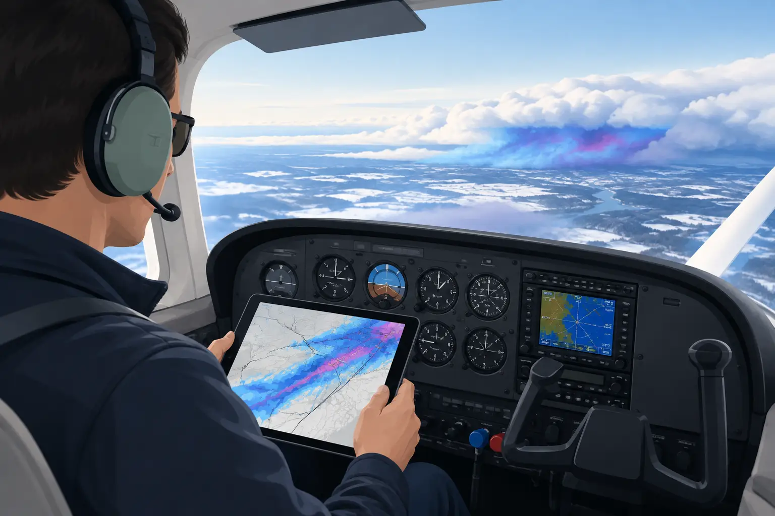
A forecast that says “light icing” somewhere along a 600-mile route is not a decision. It is the start of one. How to assess enroute icing comes down to turning that broad hazard into an answer for your airplane, your altitude options, your experience, and the point in the trip when turning around may no longer feel convenient.
The hard calls rarely happen when the answer is obvious. They happen when the bags are packed, the meeting matters, the family is ready to leave, and the weather looks just good enough to tempt you into treating uncertainty as a plan.
Start with the icing ingredients, not the label
Icing needs visible moisture, airframe temperatures at or below freezing, and droplets capable of accreting on the airplane. That sounds basic, but the operational question is more specific: where will those ingredients overlap along your route, at your planned time, and at the altitudes you can actually fly?
A freezing level by itself does not tell you much. A 7,000-foot freezing level is manageable if cloud bases are 8,000 feet and you can remain VFR below them. It is a different mission if an overcast starts at 3,000 feet, tops at 14,000, and the route requires you to spend two hours in cloud between 4,000 and 10,000 feet.
Think in layers. Identify the cloud-bearing layer, the temperature range within it, and whether there is lift to replenish supercooled liquid water. A stable, shallow stratus deck may be a short exposure. A warm front, deepening low, or terrain-forced cloud layer can create a far more persistent icing environment. The difference matters more than the word “light” on a graphic.
Build the route vertically as well as horizontally
The most useful icing assessment is a route-and-altitude picture, not a single national map. Start at departure, then look at the weather along each major leg and near the destination. Ask where you will enter cloud, where temperatures cross zero Celsius, and whether a practical climb or descent gets you out of the overlap.
A few questions sharpen the picture quickly:
- Is there an ice-free altitude below the cloud bases, and can you stay there legally and safely?
- Is there an ice-free altitude above the tops, and can your aircraft reach it with a useful margin?
- How long would the airplane be in the freezing cloud layer if the forecast is right?
- What happens if ATC cannot give you the altitude you want immediately?
- If ice begins to build, where is the nearest realistic exit: lower, higher, behind you, or on the ground?
That last question deserves more weight than it usually gets. “I can always descend” is not a plan when the cloud layer extends to the surface, terrain rises ahead, or the destination approach requires continued time in the same temperature and moisture band.
For turbocharged pistons, turboprops, and light twins, performance can create options that a normally aspirated single does not have. But altitude capability is not the same as an escape route. A climb through an icing layer may be the worst part of the exposure, especially if cloud tops are uncertain or the airplane is already carrying ice.
Read the weather story behind the products
AIRMET Zulu, SIGMETs, GFA icing forecasts, the Forecast Icing Product, and PIREPs all belong in the briefing. None should be asked to carry the whole decision.
An AIRMET Zulu tells you that forecasters expect widespread conditions conducive to moderate icing or greater, or extensive light icing. It is useful for framing the risk, but it does not tell you whether your exact route has a clean altitude or whether the hazard is improving by your departure time. Likewise, the absence of an AIRMET is not an all-clear.
PIREPs are often the most operationally valuable evidence because they describe what an airplane actually encountered. Read the details, not just the icing symbol: aircraft type, altitude, location, duration, intensity, cloud tops, and whether the pilot changed altitude to escape. A report of trace to light rime in a 172 at 6,000 feet may be encouraging for one route and nearly irrelevant for another 90 minutes later and 150 miles away.
Also notice what is missing. Sparse PIREPs over remote terrain or overnight do not mean benign conditions. They may simply mean nobody has flown there recently. When reports disagree, look for the reason. Different altitudes, different sides of a front, or a rapidly changing system can all be true at once.
Area Forecast Discussions are especially useful for understanding the trend. They often explain whether a shortwave is strengthening lift, whether low-level moisture is expected to deepen overnight, whether cloud tops are rising, or whether a frontal boundary is arriving earlier than modeled. That is the difference between seeing an icing forecast and understanding why it may worsen, shrink, or shift.
Use temperature and moisture forecasts to test your exit strategy
Model soundings, forecast skew-Ts, and vertical profiles are where an icing plan becomes real. You are looking for the depth of saturated air within the freezing range and the temperatures in that layer.
The classic high-risk band is often roughly 0 to minus 10 Celsius, where supercooled liquid water can be abundant. But do not reduce the decision to one temperature range. Icing can occur outside it, and accretion rate depends on droplet size, liquid water content, airspeed, collection efficiency, and the shape of the surface collecting ice.
Pay close attention to the warm nose aloft. If temperatures rise above freezing at a reachable altitude, that may provide an escape. But a warm layer only helps if it is wide enough to melt accumulated ice and you can reach it without an unacceptable climb through the worst conditions. Conversely, a subfreezing layer from the surface through your service ceiling removes a major option before you ever start the engine.
Terrain changes the calculus. On a route across the Appalachians, Rockies, or Cascades, orographic lift can deepen clouds and icing on the windward side while making lower-altitude exits impractical. A route that looks tolerable on a broad forecast may become a poor bet once you account for minimum enroute altitudes, freezing levels, and the lack of airports beneath you.
Match the hazard to the airplane, not the wish
Known-ice certification, boots, heated props, and windshield heat are capability tools, not permission slips. Even in an approved airplane, you need to know the limitations, required equipment, activation procedures, performance penalties, and the manufacturer’s guidance on cycling boots. If you have no icing approval, the operational standard is simpler: avoid forecast or observed icing conditions rather than planning to “see how it goes.”
Be honest about how much margin you have. A pilot who has spent years in a capable FIKI-equipped turboprop may reasonably accept a different exposure than a pilot in a normally aspirated piston single. Neither decision should be driven by bravado. The relevant question is whether the expected exposure fits the aircraft, the pilot, and a clear exit plan.
A light icing forecast becomes more serious when it is paired with nighttime IMC, embedded convection, mountain terrain, a long overwater segment, or a destination with few alternates. PAVE is useful here because icing is never just an “enVironment” checkbox. Pilot readiness, Aircraft capability, and External pressures can turn a marginal weather picture into a no-go.
Watch the forecast evolve before the trip becomes urgent
Three or five days out, you usually cannot know whether a particular cloud layer will be flyable at 9,000 feet. You can often identify the pattern that creates the problem: a slow warm front, repeated waves of precipitation, a deep trough, or cold air trapped beneath widespread cloud cover.
That early view is where PlaneWX can help. Its Synoptic Intelligence™ brings together the route-level reasoning in NOAA Area Forecast Discussions and calibrates it against National Blend of Models probabilities, giving you a personalized WX Score based on your aircraft, ratings, experience, and minimums. The value is not a promise that the trip will work. It is earlier visibility that a weather system may force a schedule change, a commercial backup, or a conversation with the people waiting on your decision.
As departure nears, replace broad pattern thinking with current evidence. Compare updated TAFs, METAR trends, PIREPs, radar, satellite, icing guidance, and the latest AFD discussion. If the forecast has shifted toward colder temperatures, deeper moisture, or slower frontal movement, treat that as a changed mission, not a minor inconvenience.
Set the no-go trigger while the pressure is low
Before you are at the airport, write down what would stop the trip. It might be no verified ice-free altitude, forecast moderate icing along the required IFR segment, a freezing layer with uncertain tops, or PIREPs showing accumulating ice near your planned altitude with no practical escape.
Then give yourself permission to use that trigger. The best icing decision is often made in the hotel lobby the night before, when a delay costs money but does not put you in cloud, watching airspeed decay and searching for an out.
You do not need perfect certainty to make a sound call. You need an honest picture of exposure, options, and consequence. Build that picture early, update it as the weather changes, and let the mission adjust before the sky forces the decision. That is the confidence to go, or the courage to stay™.