You usually do not feel weather pressure at engine start. You feel it three days earlier, when the hotel is booked, the meeting is on the calendar, and your family has already packed. That is where a useful pilot weather tools comparison starts - not with a METAR ten minutes before departure, but with the moment a trip becomes real.
Most pilots reading this already know how to brief weather on the day of flight. You can read TAFs, scan METAR trends, check radar, and work through PIREPs, AIRMETs, and SIGMETs in your EFB. The problem is not whether those tools are good. The problem is timing. Most of them are strongest inside 24 hours, and some of the hardest go/no-go decisions get made before that window even opens.
A pilot weather tools comparison should start with timing
If you lump every weather product into one bucket, they all look interchangeable. They are not. A METAR answers, "What is happening now?" A TAF answers, "What is expected at this airport over the next day or so?" High-resolution models like HRRR help with shorter-range details. Area Forecast Discussions, or AFDs, tell you what forecasters are thinking, what they trust, and where uncertainty sits. NBM data adds probabilistic context that matters when the forecast could break either way.
That matters because trip planning is not one decision. It is a chain of decisions. On Monday, you are deciding whether to commit to a Thursday departure. On Wednesday night, you are deciding whether to move the departure up, delay, or drive. On Thursday morning, you are deciding whether the route, altitude, fuel stop, and alternates still make sense.
Different tools help at different points in that chain. If you ask a short-range product to answer a four-day question, you are going to get false comfort or false alarm. Usually both, depending on which model run you looked at last.
Day-of-flight tools are good at what they are built to do
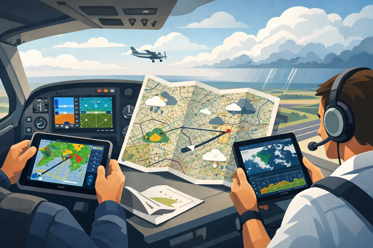
ForeFlight, Garmin Pilot, and aviationweather.gov are part of most serious pilots' workflow for a reason. They pull together METARs, TAFs, radar, PIREPs, NOTAMs, winds aloft, graphical forecasts, icing products, and the rest of the short-range picture in a way that is fast and operationally useful. When departure is near, that matters.
If I am flying this afternoon, I want current observations, trends, ceilings, convective activity, freezing levels, and anything that affects the route right now. I want to know if the TAF is holding together or if reality is already drifting away from it. I want to compare what the briefer products say against actual reports, because that gap is often where the risk lives.
But those tools are not really built for the earlier planning problem. Three or four days out, the map can look deceptively clean because the products that carry the most weight later either do not exist yet or are too immature to lean on. That is not a flaw. It is just not their lane.
The weak spot is the 24- to 120-hour window
This is where many owners and regular cross-country pilots get squeezed. You are trying to make a practical decision before TAF coverage exists for the trip, before convective timing is clear, and before anyone should be pretending to know exact ceilings at your ETA. Still, the decision has to be made.
That window calls for pattern thinking, not airport snapshot thinking. You want to know whether a trough is slowing down, whether moisture return is stronger than it looked yesterday, whether widespread IFR is likely behind a front, whether mountain obscuration is becoming a route problem, and whether the forecast confidence is improving or deteriorating.
This is where AFDs are gold, if you have the patience to read them across a route. They often contain the most honest language in the whole system. You see where the forecast office is confident, where they are hedging, and what could cause the forecast to bust. The trade-off is time. For a long trip crossing multiple forecast office areas, reading AFDs one by one is work. Good work, but still work.
Model data helps too, but raw model shopping can get pilots into trouble. Looking at one panel from one run and treating it like a plan is a good way to brief yourself into a corner. Models are useful when they are part of a bigger picture, especially when you can compare trends and probabilities instead of chasing a single deterministic outcome.
Comparing the main categories of pilot weather tools
The cleanest way to think about a pilot weather tools comparison is by job, not brand.
Current-condition tools give you the truth on the ground and near-term trends. METARs, radar, satellite, PIREPs, and surface analysis are essential when the launch decision is near. Their limitation is obvious - they tell you little about a trip four days from now.
Terminal forecast tools are excellent once the trip is close enough for TAFs to matter. They support alternate planning, arrival risk assessment, and timing changes. Their limitation is coverage and lead time. If your decision point comes before the TAF window, they cannot help much.
Short-range model tools can sharpen the near-term picture, especially with convection, cloud timing, and local detail. HRRR is useful when used with discipline. Its limitation is that pilots often ask it to answer questions beyond its useful horizon.
Forecast discussion and synoptic tools are better for early trip planning because they explain the pattern and the uncertainty. Their limitation is that they can be fragmented and time-consuming across a route.
Probabilistic decision tools are the most useful when they connect weather risk to your actual mission. Probability by itself is not enough. A 40 percent chance of low ceilings means something very different to a Cirrus pilot flying hard IFR than to a VFR-only pilot taking family into a mountain airport at night.
That last point gets missed in a lot of tool comparisons. The weather is the weather. The decision is personal. Aircraft capability, pilot proficiency, route terrain, time pressure, and outs all matter. That is straight PAVE thinking, whether we say it out loud or not.
What most pilots actually need from a weather tool
Not more layers. Not another rainbow map. What you need is earlier visibility into whether the trip is trending toward viable or not, with enough transparency to understand why.
That means a useful tool should help you answer a few practical questions. Is the route getting better or worse with each update? Is the forecast uncertainty narrowing or widening? Are the problems likely to be isolated, manageable issues or broad system-level risks? And does this weather fit me, my airplane, and this mission?
If a tool cannot help with those questions, it may still be a good aviation weather product. It just may not be the right one for the decision you are trying to make at that moment.
Where PlaneWX fits in this pilot weather tools comparison
PlaneWX was built for the gap most pilots feel but cannot quite name - the stretch beyond 24 hours when the trip is already on the calendar but the usual airport-centric products are not yet enough. It uses Synoptic Intelligence™ to synthesize AFDs from up to 122 NOAA Weather Forecast Offices along a route, calibrates that against NBM probabilistic data, and turns it into a personalized WX Score tied to your ratings, experience, personal minimums, and aircraft capability.
That does not replace your EFB. It gives you something your EFB is not trying to provide: early visibility into whether a specific trip is becoming more or less likely to work. Then, as departure approaches, the briefing refreshes so you are not stuck making a high-stakes call from stale assumptions you formed two days ago.
The key is not certainty. There is no such thing in weather. The value is getting a better read on probability earlier, while there is still time to adjust the meeting, rebook the hotel, move the family departure, or decide the smart play is to stay put.
How to choose the right mix of tools
For most serious GA pilots, the answer is not one tool. It is a stack.
Use your standard EFB and aviation weather products for short-range execution. That is where they shine. Use radar, METARs, TAFs, PIREPs, SIGMETs, AIRMETs, and model guidance to refine the launch decision and manage tactical changes.
But for the three- to five-day planning window, prioritize tools that explain the pattern, capture uncertainty, and relate it to your route and minimums. If you are manually reading AFDs and cross-checking model trends, that can work. It just takes time and discipline. If you want that process condensed into something route-specific and personalized, decision support built around that window can be worth it.
The right comparison is not which app has the prettiest weather page. It is which tool answers the question you actually have at the moment you need to act.
Most of us do not need more weather data. We need fewer surprises and better judgment a little earlier in the week. If that sounds familiar, take a hard look at the part of your planning workflow that happens before the TAFs show up. That is usually where the stress starts - and where better decisions can too.