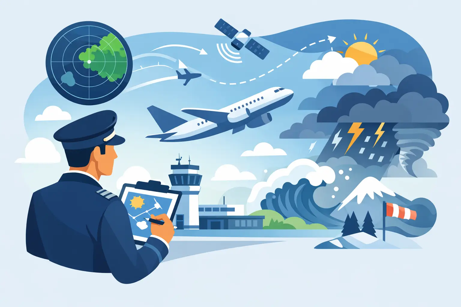
A flight rarely gets canceled because of one weather product. More often, the trip falls apart because the overall picture was misread too late. Good weather risk assessment for pilots starts well before engine start, and usually well before the night before. If you wait for a last-minute binary answer, you give up options - route flexibility, departure timing, alternates, overnight planning, and sometimes the discipline to stop pushing a marginal mission.
For most GA flying, the real question is not whether weather exists. It is whether the weather risk fits the mission, the aircraft, and the pilot on the day you plan to fly. That sounds obvious, but it is where many poor decisions begin. Pilots often evaluate conditions product by product instead of building a coherent risk picture. A METAR looks fine. A TAF is manageable. Winds aloft are annoying but acceptable. Then convective timing slips, ceilings trend lower than forecast, or a crosswind that looked tolerable on paper becomes the factor that ends the trip.
What weather risk assessment for pilots actually means
Weather risk assessment for pilots is not just reading forecasts. It is assigning operational meaning to them. The same ceiling, freezing level, or thunderstorm probability can represent very different risk depending on whether you are flying a VFR trainer for a $100 hamburger or launching an IFR cross-country in a known-ice-equipped aircraft with flexible departure timing.
That is why weather should be assessed in layers. The first layer is the forecast itself - METARs, TAFs, MOS, winds aloft, radar trends, G-AIRMETs, model output, PIREPs, freezing level, convective guidance. The second layer is uncertainty. How stable is the forecast from run to run? Are the HRRR and ECMWF telling the same story, or are they pulling in different directions? The third layer is mission exposure. How long are you in the system, how many weather-sensitive phases of flight are involved, and how many off-ramps do you actually have?
Pilots who make consistently sound go-no-go calls are usually not better at reading one chart. They are better at connecting those three layers.
Start with mission exposure, not weather products
A useful habit is to define the mission before pulling weather. Distance, terrain, daylight, alternates, fuel flexibility, passenger pressure, and personal currency all change the meaning of the same forecast. That is straight out of the PAVE framework, and it still holds up because it forces weather into an operational context instead of treating it like a stand-alone problem.
Take a simple example. A 2,000-foot ceiling along the route may be acceptable for a current IFR pilot flying a familiar aircraft between airports with solid approaches and good alternates. The same ceiling may be a no-go for a VFR pilot trying to thread through rising terrain with limited divert options. Neither answer is universally right. The risk sits in the match between conditions and mission.
This is where experienced pilots save themselves trouble. They do not ask, "Can this airplane fly in this weather?" They ask, "What decision points will this weather create, and do I still like my options if two things get worse?"
The real skill is reading trend plus uncertainty
Single snapshots cause bad planning. A forecast three days out is not useful because it is precise. It is useful because it shows trend, and trend is what gives you decision space.
If ceilings have been trending downward across successive model runs, if timing on a frontal passage keeps moving into your departure window, or if convection probabilities keep broadening geographically, that matters more than one optimistic line in one forecast product. The same goes the other way. Sometimes a trip looks ugly five days out, then the signal tightens and the risk narrows to one manageable period. Early visibility into that change is operationally valuable because it lets you adjust timing before the schedule hardens.
For pilots, uncertainty is not a flaw in forecasting. It is part of the weather picture. A stable forecast with modest risk is often easier to manage than a better-looking forecast with wide model disagreement. Broad uncertainty means your contingency planning has to carry more weight.
That is one reason probability-based tools are helpful. A WX Score does not remove judgment, but it frames uncertainty in a way that is easier to act on. This is exactly what PlaneWX is built for. Your WX Score distills HRRR, GFS, and ECMWF consensus into a single mission-specific number calibrated against YOUR personal minimums and YOUR aircraft — up to 14 days out. It does not predict a perfect outcome. It helps you decide when the trip deserves confidence, caution, or an early stand-down, without stitching together a dozen scattered products yourself.
The weather variables that deserve the most attention
Pilots sometimes overfocus on the dramatic weather and underweight the common trip-killers. Thunderstorms get respect. Marginal ceilings, low-level wind, freezing layers, and poor timing often do more damage to real-world plans.
Ceilings and visibility are the obvious starting point, but what matters is not just the lowest forecast value. Look at duration, area coverage, and whether conditions are expected to improve or degrade during your likely arrival window. Brief MVFR at one stop may be manageable. A broad area of low ceilings with weak improvement signals can remove your escape routes faster than expected.
Wind deserves the same treatment. Surface wind is only part of the story. Crosswind exposure at destination and alternates matters, but so does low-level shear, gust spread, and mechanical turbulence on the route. A forecast that is legal and technically flyable can still produce a fatiguing, high-workload trip that leaves little margin for the rest of the weather picture.
Then there is temperature structure. For IFR pilots, freezing level placement is often more important than the presence of visible moisture alone. A route with widespread cloud tops above your cruising altitude and freezing levels embedded in the climb or descent should trigger a different planning posture than a route where you can remain above, below, or between layers with realistic outs. Icing risk is rarely one variable. It is the overlap between cloud, temperature, duration, and your inability to exit the environment quickly.
Convective risk also needs more nuance than "storms or no storms." Coverage, timing, movement, and route geometry all matter. A line of storms crossing your route at a sharp angle with room to delay may be manageable from a planning perspective. Scattered afternoon convection spread across destination, alternates, and fuel stops can be harder, because the uncertainty touches every phase of the mission.
Build decision gates before the day of flight
One of the best ways to improve weather judgment is to make fewer weather decisions in the heat of the moment. Set decision gates early. Three days out, you may only be deciding whether the trip is still plausible. The night before, you may be deciding between departure windows and alternates. The morning of, you are validating whether the forecast evolved inside your acceptable envelope.
This approach protects you from plan continuation bias. It also keeps you from treating every trip as a fresh emotional debate. If you already decided that a moving freezing level below your MEA, widespread mountain obscuration, or convective uncertainty over all alternates is outside your comfort zone, then the day-of decision becomes cleaner.
Decision gates also help when passengers or business commitments add pressure. A calm, preplanned threshold is easier to defend than a gut feeling formed on the ramp.
Use your tools as a system
No single app, chart, or forecast model should carry the whole load. EFBs are excellent at organizing the tactical picture close to departure. Long-range decision tools help shape the strategic picture earlier, when schedule changes are still cheap. Together, they support better judgment than either one can alone.
The key is to avoid collecting weather instead of assessing it. More data does not automatically mean more clarity. If you are opening twelve tabs and still cannot explain the main risk driver for the trip in one sentence, you probably need synthesis, not more products.
A disciplined cockpit mindset sounds like this: the primary threat is lowering ceilings behind the front, confidence is moderate because model agreement is tightening, the exposure is highest at destination between 1900 and 2200Z, and the trip works only if departure moves earlier. That is actionable. That is weather risk assessment.
If the weather picture gives you confidence, launch with that confidence. If it does not, standing down is not a failure of planning. It is planning working as intended.
The pilots who stay out of trouble are not the ones who always find a way to go. They are the ones who spot the shape of the risk early enough to preserve choices. That is the whole point of PlaneWX — not to make the decision for you, but to give you the information to make it yourself, days earlier, when you still have options.
Start your free PlaneWX briefing →
— Mark Wolfgang, Commercial Instrument pilot, Cirrus SR22T, and founder of PlaneWX