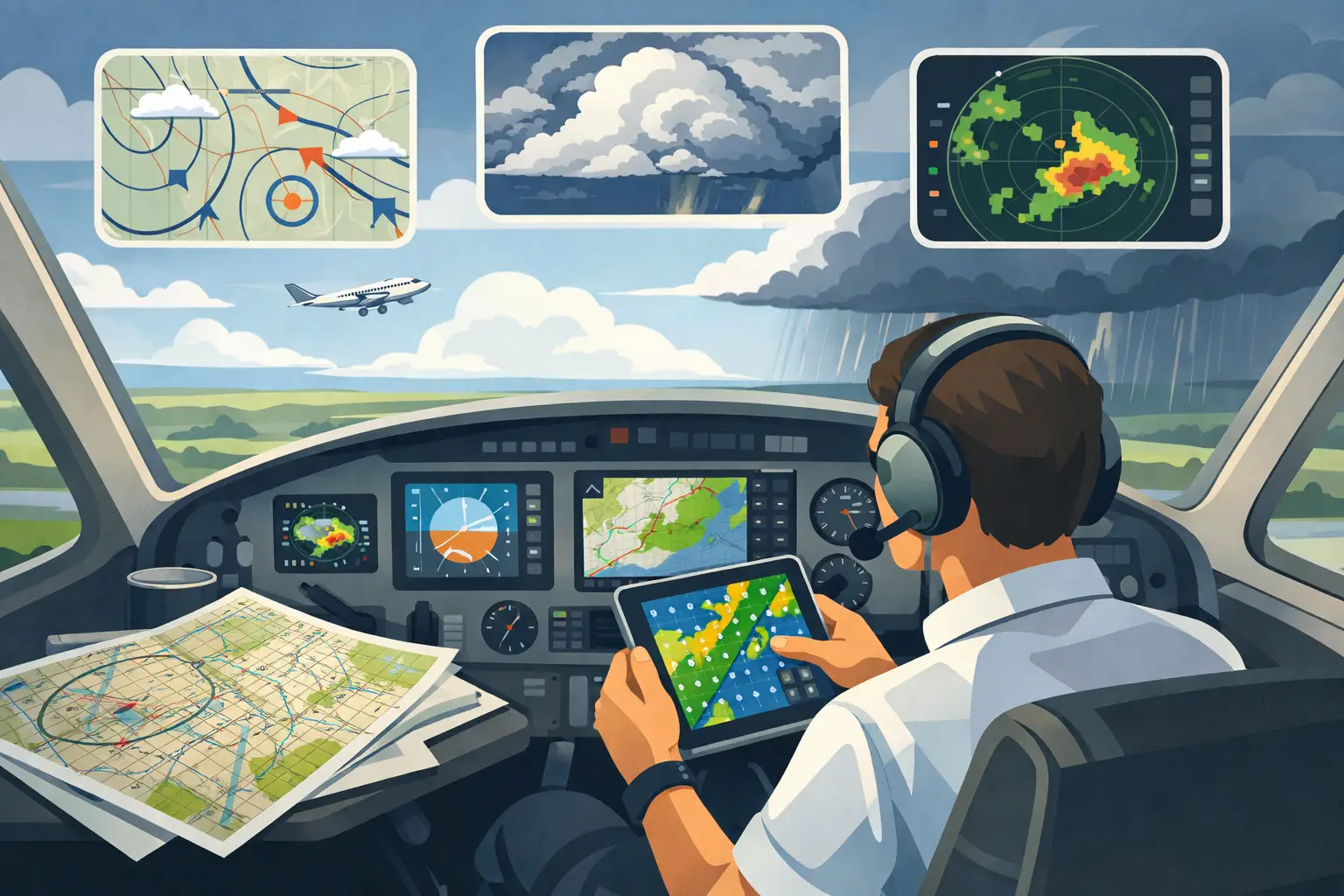
If you've ever told your family, "Wheels up Friday at 3," you already know the problem with most of the best weather resources for private pilots. They work fine when the flight is tomorrow morning. They get a lot less helpful when it's Tuesday night, the hotel is booked, the meeting is on the calendar, and there still isn't a TAF for the time you actually care about.
That's why the right answer isn't one app or one page. It's a stack. Good weather judgment in GA comes from knowing which resource answers which question, and when each one starts to matter. A METAR tells you what happened. A TAF tells you what the forecaster expects. An AFD tells you why. Model guidance shows where the forecast may be leaning before the coded products catch up. If you're making real trips in your own airplane, you need all of that at different points in the planning cycle.
The best weather resources for private pilots are different at 6 hours, 24 hours, and 5 days
A lot of bad weather decisions start with using the right tool at the wrong time. Three hours before departure, you should be living in METARs, TAFs, radar, satellite, PIREPs, SIGMETs, and AIRMETs. Three days out, that's not enough. The weather question changes from "What is it now?" to "Is this pattern organizing into something that will matter for my route and my personal minimums?"
That distinction matters because most trip pressure doesn't start on the ramp. It starts earlier, when you're deciding whether to commit at all. Do you launch the business trip? Tell your passenger you'll drive instead? Move the meeting? If your planning process only gets sharp inside 24 hours, you're late.
Start with the operational backbone: METAR, TAF, radar, and PIREPs
For near-term flying, the core tools still do most of the heavy lifting. METARs give you the observed ceiling, visibility, wind, and trends at a point. TAFs give you the forecast at the airports that have them. Radar and satellite show structure and motion. PIREPs tell you what the atmosphere is actually doing to airplanes, which is often the missing piece when the coded data looks acceptable on paper.
Nothing fancy there, and that's the point. These are the resources you should trust most as departure gets close. If the freezing level is marginal, mountain obscuration is possible, or convective timing is messy, this is where your go/no-go decision becomes concrete.
The tradeoff is coverage and timing. TAFs are airport-specific and time-limited. PIREPs can be gold, but they can also be sparse or stale. Radar tells you where precipitation is, not whether that layer at 6,000 feet is carrying moderate ice in your Cherokee Six. These aren't flaws. They just answer a narrower question than many pilots need earlier in the week.
Why AFDs belong on any list of the best weather resources for private pilots
If I could only add one underused product to the average private pilot's toolkit, it would be the Area Forecast Discussion. Not because it's pretty. It isn't. Not because it's fast. Usually not. But because it's the only place you'll consistently see the forecaster explain the setup in plain operational terms.
An AFD tells you what the forecast office is worried about, what model disagreements they see, how confident they are in timing, and where the forecast could bust. That's huge when your route covers multiple states and the destination TAF still doesn't exist for the period you care about.
Let's say you're planning a Friday afternoon flight on Wednesday. The TAF won't help much yet. The AFD might tell you a cold front is trending slower than prior guidance, low stratus may linger longer east of the mountains, or convection depends on whether morning cloud debris breaks by noon. That's real planning value. It helps you understand not just the forecast, but the fragility of the forecast.
The downside is workload. Reading one AFD is manageable. Reading six to ten along a route is not something most pilots will keep doing for every trip, especially when work and life are already pulling at them.
Model guidance matters, but only if you respect its limits
By the time you're looking 48 to 120 hours out, model products start carrying more weight. HRRR can be useful in the short range. NBM helps because it blends guidance into probabilities instead of pretending the atmosphere owes you precision. Other model views can help you spot broad trends in ceilings, precip, winds, and convective potential.
But raw model output is where smart pilots can talk themselves into bad certainty. A single model run showing VFR at your ETA means very little by itself. What matters is trend, agreement, spread, and whether the synoptic setup supports the clean answer you're hoping to see.
This is where experience helps, but even experienced pilots can get trapped by confirmation bias. If you want the trip to work, you'll naturally give extra weight to the run that clears the weather by two hours. That isn't a meteorology problem. It's a human factors problem. PAVE applies here just as much as fuel planning or fatigue.
EFB weather is essential, but it leaves a gap
ForeFlight and Garmin Pilot are indispensable because they pull the operational picture together where pilots actually work. For near-term planning and preflight, they make weather easier to compare, overlay, and monitor. That's not a small thing. Good judgment gets easier when the workflow is efficient.
But every EFB has the same blind spot: the period before the standard aviation forecast products really exist in a useful way. That's when many owner-operators are making the decision that matters most - whether to build the trip around the airplane in the first place.
That doesn't mean EFB weather is lacking. It means it wasn't built to solve the whole decision timeline. If you're trying to understand a route 3 or 5 days out, especially across several forecast office boundaries, you'll need something that pulls together more than airport snapshots.
Route-level weather intelligence is what serious trip planning has been missing
The best weather resources for private pilots aren't just products. They're systems for reducing uncertainty early enough to act on it. For real cross-country flying, the right question usually isn't "Will my destination be VFR?" It's "What is the probability this entire mission works for me, in this airplane, with my minimums, by the time I need to leave?"
That's a different problem than weather observation, and it needs a different kind of support. You need route thinking, not airport thinking. You need the discussion behind the forecast, not just the coded line. You need probabilistic guidance, not false precision.
That's the gap PlaneWX was built to fill. It synthesizes AFDs from NOAA Weather Forecast Offices along your route using Synoptic Intelligence™, calibrates them against NBM probabilities, and turns that into a personalized WX Score based on your ratings, experience, aircraft, and minimums. Then it keeps refreshing as departure approaches, so you're not starting over every time the forecast shifts.
That matters most when the pressure is external. Family packed. Customer expecting you. Hotel booked. The value isn't that someone else makes the call for you. The value is seeing earlier whether the weather pattern is supporting your mission or quietly moving against it.
Add decision support to the stack (not another raw layer)
A strong private-pilot weather stack still starts with METARs, TAFs, radar, PIREPs, AFDs, and your EFB. What most stacks still miss is a briefing matched to the airplane and the pilot, refreshed as the pattern changes, with a clear way to act days before TAFs exist.
That is the PlaneWX layer:
- High-quality briefing grounded in route context and personal minimums, with Synoptic Intelligence™ for the “why” behind the pattern.
- WX Score so the same briefing becomes a comparable go/no-go signal as guidance shifts.
- National, Regional, and Corridor Watch to find workable weather windows across the outlook, the region, and the route you will actually fly.
- FRAT on PAVE so environment changes stay tied to pilot, aircraft, and external pressure.
- Mentor network and Need Help Now when you want peer eyes on the same briefing before pressure locks the plan.
Use official sources and your EFB for the tactical picture inside about a day. Use the PlaneWX layer earlier, when commitments are still cheap to move. You remain PIC.
How to build your own weather stack without overcomplicating it
If you're a private pilot flying real trips, think in layers.
At 3 to 5 days out, focus on pattern recognition. Read the AFDs that affect your route. Look at probabilistic guidance like NBM. Pay attention to frontal timing, widespread IFR risk, icing setup, convective signals, and whether forecast offices are expressing uncertainty.
At 24 to 48 hours, tighten the picture. Compare that broader pattern against TAF development, updated model trends, and route-specific concerns. This is where you should start asking whether your alternates are truly viable or just technically legal.
Inside 12 hours, shift to execution. METARs, TAFs, radar, satellite, PIREPs, SIGMETs, AIRMETs, and your EFB presentation should dominate. At that point, you're no longer asking what might happen in a broad sense. You're deciding whether this flight, now, works inside your margins.
If that sounds obvious, good. The trick is not knowing these tools exist. The trick is resisting the urge to force certainty too early or delay hard decisions too long.
The real test of a weather resource
A weather resource is only useful if it improves judgment. Not if it looks slick. Not if it gives you one more colorful layer to tap through. The real test is whether it helps you make a better call sooner, with less wishful thinking.
For private pilots, that usually means combining old reliables like METARs, TAFs, PIREPs, and radar with deeper context from AFDs and probabilistic model guidance. If you're flying for real schedules, not just $100 hamburgers, it also means having a way to evaluate the trip before the usual products catch up.
Some days, that extra clarity gives you the confidence to go. Other days, it gives you the courage to stay. Either way, that's a better place to make the call from.